
Last reviewed: August 13, 2026.
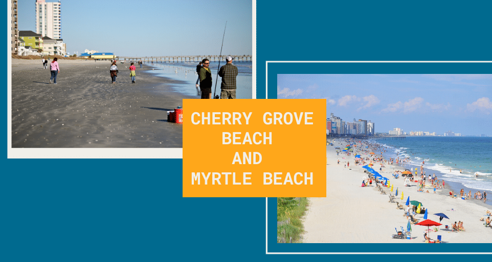
Cherry Grove Beach is a neighborhood at the north end of the City of North Myrtle Beach. Myrtle Beach is a separate city farther south, so the answer depends on which Myrtle Beach destination you mean.
How far is Myrtle Beach from Cherry Grove?
As a useful planning estimate, the Myrtle Beach Boardwalk and SkyWheel area is roughly 20 to 22 road miles from central Cherry Grove. A destination in northern Myrtle Beach will be closer, while Myrtle Beach International Airport, Market Common or the south end of the city will be farther.
Traffic, road work, your starting street and your final destination can change the trip substantially. Summer Saturdays, holiday weekends and major events are often slower. Use live navigation for an arrival estimate, and check SCDOT’s 511 traveler information for current incidents, congestion and construction.
Which route should you take?
US 17 is the principal north-south corridor between North Myrtle Beach and Myrtle Beach. The best local connection varies by destination, so enter a specific address instead of routing only to “Myrtle Beach.” Ocean Boulevard is a local beachfront street with frequent signals, crossings and seasonal traffic; it is not a continuous ocean-view shortcut for the whole trip.
Before a day trip
- Confirm attraction hours and ticket requirements on the attraction’s official website.
- Check the parking rules for the specific city and lot you plan to use. North Myrtle Beach and Myrtle Beach operate separate parking programs.
- Remember that the well-known Myrtle Beach Boardwalk is in the City of Myrtle Beach, not Cherry Grove or North Myrtle Beach.
- Allow extra time for peak-season traffic and return trips after evening events.
For local planning before you leave Cherry Grove, see the City of North Myrtle Beach’s parking FAQ and beach-access map. Do not rely on the old blanket claim that parking is free.
